How 360° maps and interactive lot finders support land sales
Land is hard to sell from a distance. How an interactive map, a lot finder and ground-level 360° views help buyers understand an estate before they visit.
By Tide & Co.
Land is one of the hardest things to sell from a distance. A buyer needs to understand the setting, the layout of the estate and which lots are available without having stood on the ground, and a brochure or a handful of photographs rarely does that. An interactive map, a lot finder and ground-level 360° views are three tools that can, when they are built for the buyer’s questions and not for novelty.
What the buyer is actually asking
- Where is this, and how do I get there?
- What does the estate look like from above, and how do the lots sit in it?
- Which lots suit what I want: water, forest, privacy, access?
- What is in front of a particular lot when I stand on the road?
- How do I ask about the one I like?
The map shows the layout at a glance
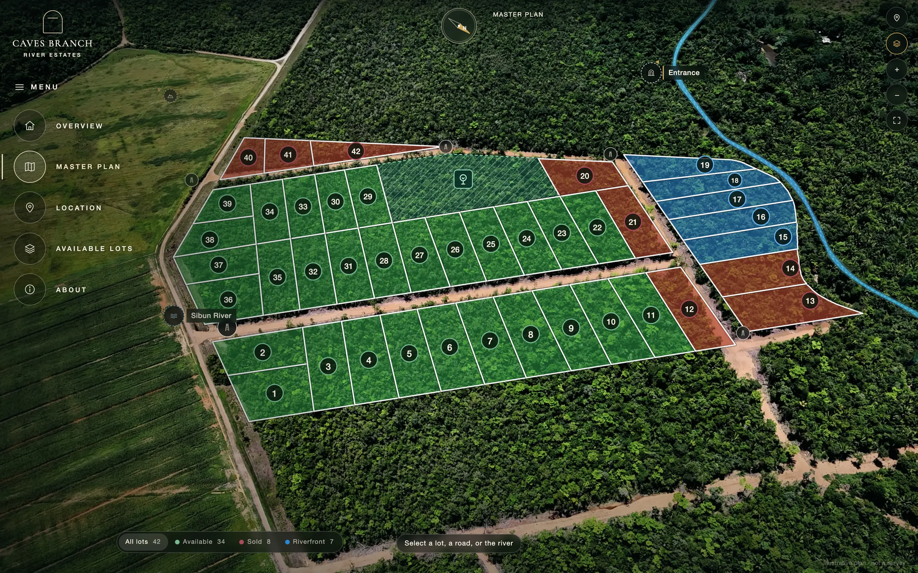
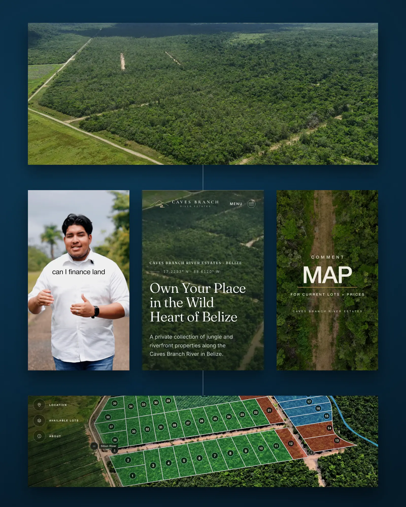
For Caves Branch River Estates we built an interactive aerial map of the estate’s 42 lots, with outlines and numbers over drone imagery, linked to ground-level 360° views. A buyer sees the whole estate, finds a lot by its number and sees where it sits relative to the road and the river. The Caves Branch River Estates case study shows how it fits into the website.
The lot finder narrows the choice
Forty-two lots is a lot to browse. A lot finder asks what kind of setting a buyer wants and shows the lots that match, so choosing stays simple. Every lot also gets its own page with its category, acreage and price and a way to ask about it, so a buyer can look closely at the one they like instead of scanning a table.
Ground-level 360° lets a buyer stand on the road
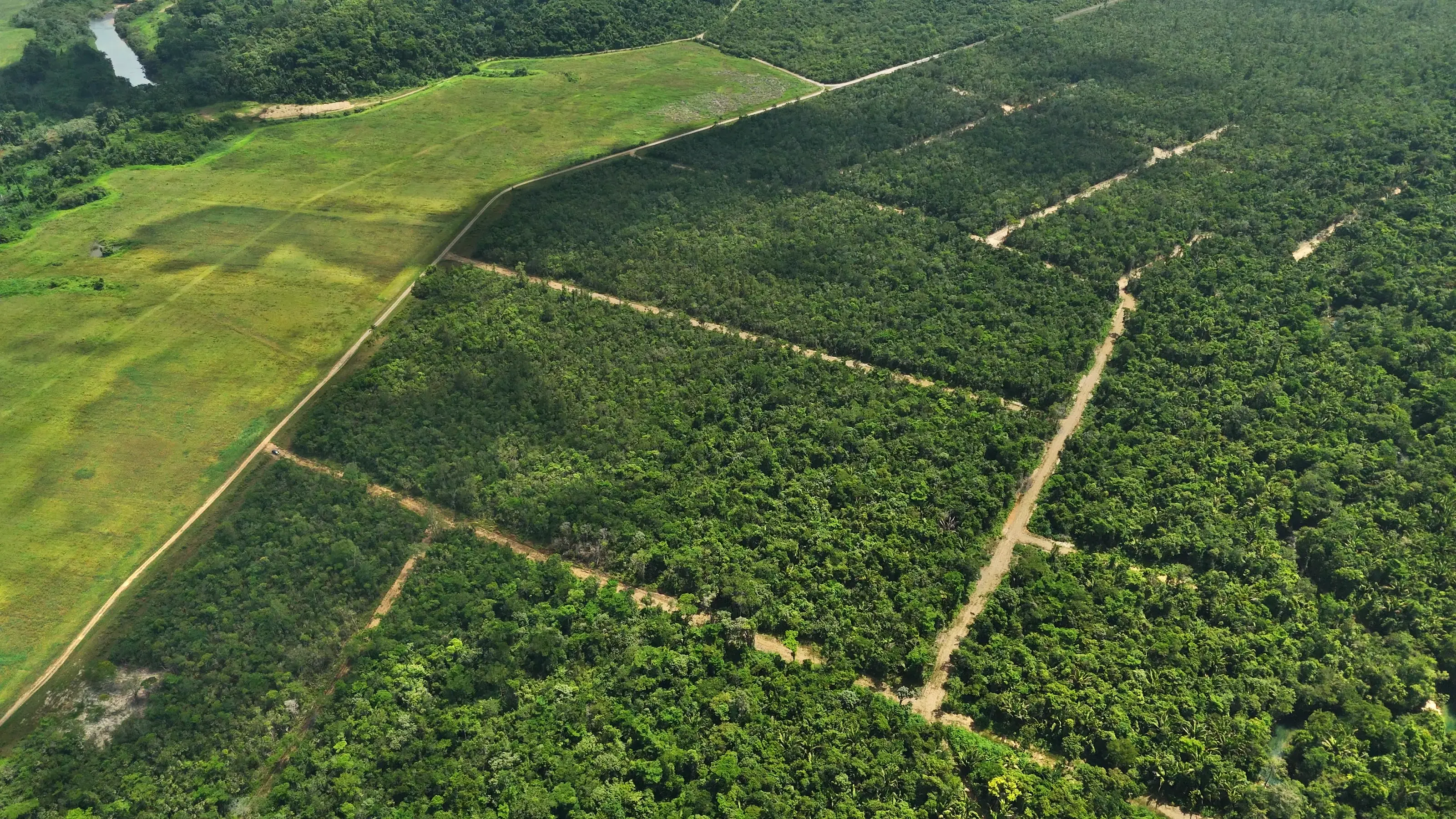
Aerial views explain the layout; ground views explain the feeling. A 360° view from the road in front of a lot answers questions a map cannot: the tree cover, the slope, the sense of space. Capture is planned around the place, which in practice means being on the land in person at the right time of day, with the drone and the 360° camera, rather than assembling it from stock.
Be honest about what the map is
A marketing map is not a survey. If lot outlines are drawn from drone imagery, they are approximate, and the map should say so. Keep availability current, because a map that shows the wrong lots as available loses a buyer’s trust faster than having no map. Decide who updates it, and how, before it goes live.
Make it work on a phone
Many buyers will first meet the estate on a phone. The map and finder should load quickly, be usable with a thumb and keep one clear next step in view: asking about a lot. The 360° views should open from the map without sending the buyer through several pages.
What it cannot do
An interactive map does not replace a visit, a survey or legal due diligence, and we do not present it as if it does. What it does is bring a buyer to a better-informed first conversation, and let the people who are serious spend their time on the lots that fit.
We build this kind of work, including the capture on location in Belize, as part of our immersive experiences service, usually alongside the website and the film so it all reads as one project. If you have land to present, tell us about it.

Want this applied to your business?